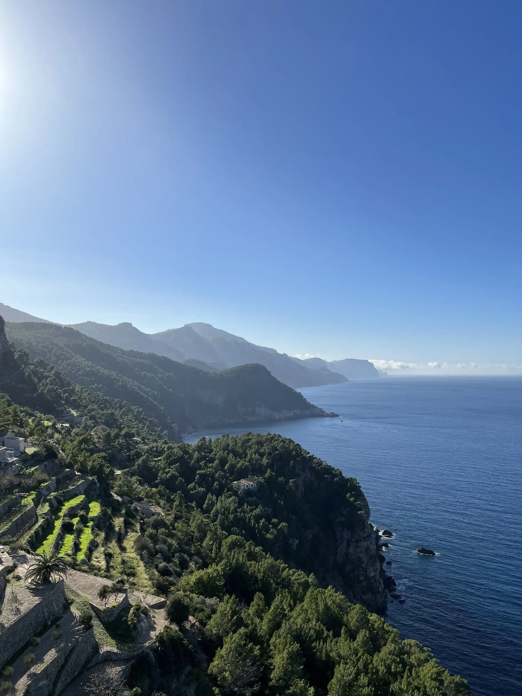
Banyalbufar: the ses Ànimes viewpoint and the marjades
The exact kilometre marker for the viewpoint, what official sources do not publish about the tower, the bus from Palma, and the village in winter.
Banyalbufar is the Tramuntana village almost everyone has seen without knowing it: the photograph of the round tower above the cliff, the coast fading into haze behind it, is on half the posters of Mallorca. That tower is here — and the spot the photograph is taken from has a kilometre marker.
What follows is what official sources actually publish. And what they do not.
The ses Ànimes viewpoint: exactly where it is
The Balearic government’s viewpoint catalogue places the Mirador de la Torre des Verger, or de ses Ànimes, at kilometre 88+600 of the Ma-10, the road that runs the length of the Serra de Tramuntana. The entry rates its access difficulty at level 1 — the easiest — and puts the visit time at one minute: this is a roadside stop, not an excursion.
The tower was built in 1579 to defend the coast and the village against pirate raids. The Balearic government restored it in 1995, and it is listed as a Cultural Heritage Asset (BIC).
What no official source publishes: whether you can climb the tower, at what times, whether there is an entrance fee, and how many parking spaces there are at the viewpoint. None of the three administrations that mention it says. We are not going to invent it here: expect a narrow verge, and in summer one of the busiest stops on the whole Ma-10.
The marjades: why the village is shaped like that
Banyalbufar drops to the sea in steps. Those dry-stone terraces — marjades — are not decoration: they are the system that made an impossible hillside farmable.
The town council dates the village’s origin to an Andalusi community in the year 903, and explains that the place name means “a building by the sea”. It also notes that the complex system for capturing and distributing groundwater comes from Islamic culture.
UNESCO inscribed the Cultural Landscape of the Serra de Tramuntana on the World Heritage List in 2011, under criteria (ii), (iv) and (v). Its description is about precisely this: “a system of terraces supported by dry-stone walls”, and the combination of Arabic water-harvesting technology — qanats, channels, ditches, storage basins — with the territorial system introduced after the Christian conquest.
Put another way: what you are looking at from the viewpoint is a thousand-year-old piece of agricultural engineering, which is why it is protected.
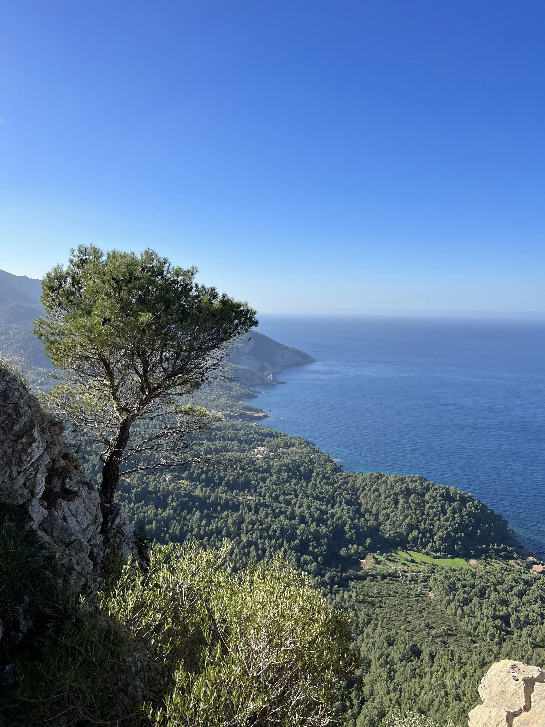
The coast at Banyalbufar on 31 December 2022.
The malvasia, and where the sources disagree
Banyalbufar was famous for its malvasia wine, exported across Europe. On how that ended, the two official sources do not say the same thing:
- The town council states that in 1839 a pest destroyed the vines and ended that tradition.
- The Consell de Mallorca talks about a recovery after phylloxera, at the end of the 19th century.
These are not necessarily incompatible — a pest in 1839, phylloxera afterwards, a partial recovery later — but neither administration publishes the full chronology. Banyalbufar malvasia is still produced today; if you want to buy some, ask in the village, because there is no official list of wineries open to the public.
Getting there without a car
There is a direct bus from Palma. TIB’s line 202 runs Palma > s’Esgleieta > ses Rogetes de Canet > Ma-1120 > Esporles > Ma-10, Banyalbufar > Banyalbufar > Ma-10, Estellencs > Estellencs, with a low-floor vehicle.
The number of services and the times change by season and by day of the week, and TIB does not publish them stably on the line’s page. Check them on tib.org on the day: in the Tramuntana, missing the last bus means staying.
One detail to watch: there are two different stops, “Ma-10, Banyalbufar” and “Banyalbufar”. The first is on the main road, the second in the village.
What it is like in December
These photographs are from 31 December. The sun set just after quarter past five; at twenty to six there was still an orange band over the sea, and by six it was dark. That is the best and the worst news about winter in the Tramuntana: you have the coast practically to yourself, and you have an hour and a half of good light in the afternoon.
What changes compared with summer:
- The light. The sun sets in front of the coast, not behind the mountain. In December it comes in low and the terraces show their full shadow.
- Low fog. With the sea warmer than the air, tongues of fog slide down the slopes. They last minutes.
- Parking. The July problem disappears.
- What is open. That is the weak point: out of season, in the small mountain villages, many bars and shops close or cut their days. There is no official list, so call ahead if you are counting on eating there.
If you are driving the whole Ma-10, Deià is half an hour north and has the opposite problem: museum opening times that are published, and worth checking before you go up.
More photos
-
Banyalbufar · 31 Dec 2022
-
Banyalbufar · 31 Dec 2022
-
Banyalbufar · 31 Dec 2022
-
Banyalbufar · 31 Dec 2022
-
Banyalbufar · 31 Dec 2022
-
Banyalbufar · 31 Dec 2022